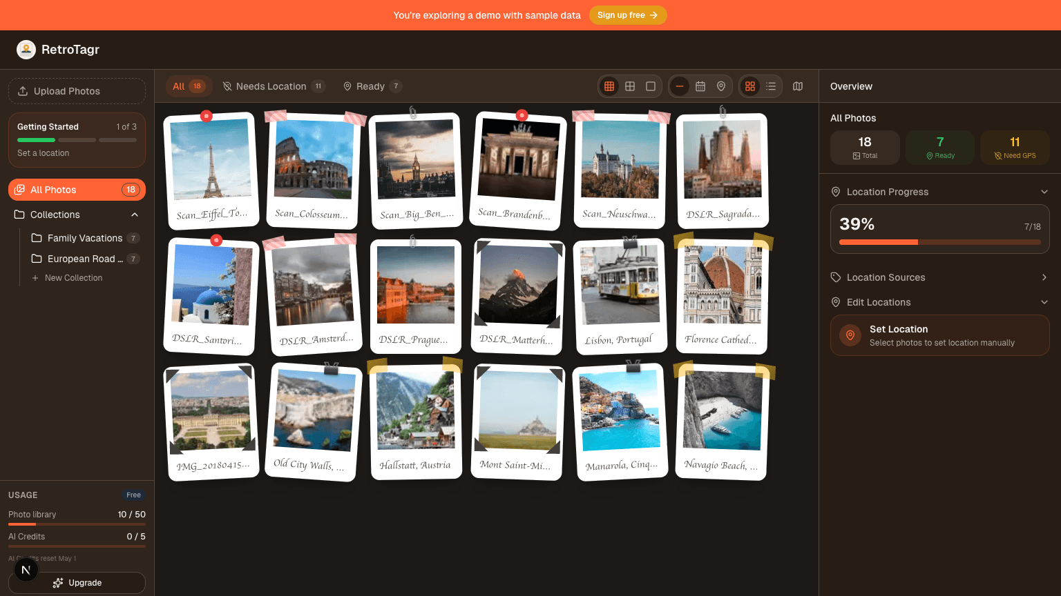
Tag your old photos. See them on the map.
Your digital memories are
lost on the map.
Millions of photos—scans from family albums, DSLR shots, and digital archives—are missing GPS data. They sit in folders, disconnected from the real-world places they belong.
Without this data, the "Places" map in Apple Photos, Google Photos, and Lightroom stays empty. Your memories have no place.
Put them back where they belong.
RetroTagr is the missing link. We provide the easiest, fastest way to add precise GPS coordinates to your image files.
- Works with camera photos, scanned prints, any image
- Search any address or drag the pin to exact spots
- Download files ready for Apple Photos, Google Photos, Lightroom
Use Cases
Your photos have stories. They just need their places back.
The silent archive
You've been shooting with your DSLR for over a decade. Thousands of photos from trips, hikes, city walks — but your camera never had GPS. Your map view is empty, and you can't remember where half of them were taken.
RetroTagr's AI recognizes landmarks, architecture, and scenery in your photos and places them on the map where they belong.
The shoebox on the shelf
You finally scanned your parents' photo albums — birthdays, holidays, the old house. Hundreds of photos preserved digitally, but none of them know where they were taken. They're just files in a folder.
Describe the places you remember, or let AI figure out the rest. Now the whole family can browse them by location.
The trip you half-remember
That backpacking trip 15 years ago — you remember the country, maybe the cities. But the mountain pass where you stopped for lunch? The village with the market? Those details faded years ago.
RetroTagr analyzes your photos and reconstructs the journey. Places you forgot come back to the map.
AI-Powered Geotaggingfor your memories.
RetroTagr uses multiple AI models to identify locations from visual cues in your photos. From landmarks and architecture to vegetation and street signs—our AI analyzes it all to suggest precise coordinates.
AI Location Finder
Never guess where old photos were taken again. Our AI recognizes landmarks, architecture, and scenery to pinpoint locations automatically.
Multi-Provider AI
Google Vision, Claude, GPT-4o, and Gemini work together to analyze your photos. Our system automatically picks the best provider for each image, ensuring the highest accuracy possible.
AI Chat Refinement
Chat with AI to refine location suggestions. Provide context like "this was near a beach in Portugal" and watch the AI narrow down the exact location.
Multi-Photo Analysis
Analyze 2-20 photos together for higher confidence. Like solving a puzzle, the AI cross-references visual clues across multiple images.
AI Date Estimation
Analyze clothing, technology, and visual cues to estimate when a photo was taken. Perfect for undated vintage photos.
Text & Sign Analysis
Our AI reads street signs, business names, and visible text in your photos as part of location analysis. Every clue helps narrow down where you were.
Batch AI Processing
Tag entire albums in minutes, not hours. Process up to 50 photos at once with parallel AI analysis.
Privacy First
Your memories stay yours. Encrypted storage, secure cloud processing, and your photos are never stored by AI providers.
Full EXIF Control
Add GPS, fix dates, edit captions—all changes embedded directly into your files.
100% Web Based
No downloads or plugins needed. Works in any modern browser.
Multiple Formats
JPEG today, with PNG, HEIC, WebP, AVIF and TIFF on the way.
Photo Collections
Organize photos into albums and keep your projects neatly organized.
AI Photo Enhancement
Upscale old photos, remove noise, and restore faded colors. Bring your vintage memories back to life.
Works with your photos
100% lossless metadata embedding - your image quality stays pixel-perfect
JPEG
Universal compatibility
PNG
Screenshots & graphics
HEIC
Apple iPhone photos
WebP
Modern web format
AVIF
Next-gen compression
TIFF
Professional archival
Simple Workflow
From folder to map in
three simple steps.
Upload your archives
Drag and drop entire folders of photos. JPEG today — PNG, HEIC, WebP, AVIF and TIFF are coming. Your photos are encrypted and processed securely.
Drag & Drop Upload
Select files or drop a folder
Pinpoint the location
Search for a landmark or city, then drag the pin to the exact spot. Apply one location to a batch or tag individually.
Interactive Map
Search or drag the pin
Download and organize
Get your photos back with standard GPS location data embedded. They're now ready for Apple Photos, Google Photos, or Lightroom.
GPS Data Embedded
Ready for your photo apps
Pricing
Simple, transparent pricing.
No hidden fees.
Start free, upgrade when you need more. All plans include core features.
Pay once. No subscription.
Buy a photo pack, locate your memories, done. Packs never expire.
Locate 30 photos
€1.99
€0.07 per photo
Locate 100 photos
€4.99
€0.05 per photo
Locate 300 photos
€9.99
€0.03 per photo
For power users
Big library, unlimited albums, monthly photo allowance.
Free
- 50 photos
- 3 collections
- ✨ 15 AI credits/month
Starter
- 500 photos
- Unlimited collections
- ✨ 30 AI credits/month
- Priority support
Pro
Full AI suite included
- 5000 photos
- Unlimited collections
- ✨ 120 AI credits/month
- Priority support
- Bulk operations
Not sure which plan fits? Try the demo to see RetroTagr in action.
256-bit Encryption
Bank-level security
GDPR Compliant
Your data, your rights
Secure Cloud Storage
Enterprise-grade infrastructure
No Watermarks
Your photos, unbranded
Instant Download
Get files immediately
Free Plan Available
No credit card required
How RetroTagr compares
See how we stack up against alternatives for geotagging your photos.
| Tool | Price | AI Location | Batch Processing | Web-Based | EXIF Editing | Collections | Free Plan |
|---|---|---|---|---|---|---|---|
| RetroTagr | Free / from €5/mo | ||||||
| GeoImgr | €12.90/mo | ||||||
| Photo Mechanic | €129 one-time | ||||||
| ExifTool | Free (CLI) | ||||||
| GeoSetter | Free (Desktop) |
FAQ
Frequently Asked Questions
What does it mean to 'geotag' a photo?
Geotagging is the process of adding geographical information to a photo's metadata. This usually means embedding latitude and longitude coordinates into the photo's EXIF data. Once tagged, software like Apple Photos, Google Photos, or Adobe Lightroom can display your photos on a map.
What kind of photos can I geotag?
You can geotag photos from your digital camera, smartphone, or even scanned images from old film prints. Right now we write GPS into JPEG; PNG, HEIC, WebP, AVIF and TIFF are coming.
Is RetroTagr really free?
Yes! Our Free plan lets you store up to 50 photos and includes 15 AI credits for location detection — no credit card required. If you need more, our Starter and Pro plans offer higher limits and more AI credits.
What happens to my photos after I upload them?
Your privacy is our top priority. Photos are encrypted during transfer and storage. We never train AI on your personal photos and we don't claim any ownership of your images.
Can I process multiple photos at once?
Yes! You can upload entire folders of photos and apply the same location to all of them at once, or tag each one individually. This makes it easy to geotag photos from the same trip or event.
Which photo apps work with geotagged photos?
Photos geotagged with RetroTagr work with all major photo management apps including Apple Photos, Google Photos, Adobe Lightroom, and Adobe Bridge. Any app that reads standard EXIF GPS data will display your photos on a map.
How does AI-powered location detection work?
Our AI analyzes visual cues in your photos — landmarks, architecture, street signs, vegetation, and scenery — using multiple AI providers to suggest where a photo was taken. You can then refine the suggestion through an interactive chat to narrow down the exact location.
Can I cancel or change my plan anytime?
Absolutely. You can upgrade, downgrade, or cancel your subscription at any time from your billing portal. There are no long-term contracts or cancellation fees. If you downgrade, the change takes effect at the end of your current billing period.
Do geotagged photos work on all devices?
Yes. RetroTagr embeds standard EXIF GPS metadata into your image files. This works on every major platform — Apple Photos on iPhone and Mac, Google Photos on Android and web, Adobe Lightroom, and any other app that reads EXIF data.